
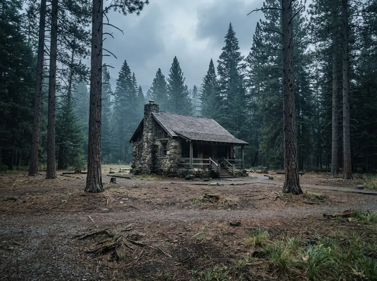
02 / Wildfire and Fuel Load Management
The fuel is the fire. Remove the fuel.
A wildfire fuel load reduction contractor eliminates ladder fuels, builds defensible space, and constructs fire breaks on federal land, targeted with ATAK-enabled mapping.
Fuel load is a number you can drive down
Fuel load is not a vibe or a feeling about the woods. It is a measurable quantity of combustible material per acre, and it can be reduced. We have eliminated 3,920+ tons of it across the portfolio. Every ton removed is a ton that does not burn, does not carry fire into the canopy, and does not throw embers into the structure on the other side of the tree line.
The work is physical and the terrain is often wrong for it. But the logic is straightforward: identify the fuel, map it, remove it, and verify the stand after treatment. The agency gets a measured reduction in fire risk, not an assertion that the area was cleaned up.
What We Deliver
Six wildfire fuel load reduction capabilities that hold on federal land
Ladder fuel identification and removal
Ladder fuels are the vertical continuity that carries ground fire into the canopy. We map them first, then cut them out. Low branches, deadwood, vines, and understory shrubs that bridge the gap between the forest floor and the crown. Remove the ladder and the fire stays on the ground where it can be fought.
Defensible space creation around structures
We clear fuel in concentric zones around visitor centers, barracks, historic structures, and utility infrastructure. The inner zone gets bare ground and cleared canopy. The outer zones get thinned canopy and removed ladder fuels. The goal is simple: if fire reaches the structure, it arrives as ground fire, not crown fire.
Fire break construction
A fire break is a strip of ground where the fuel has been removed or reduced below the threshold that fire can cross. We build them along ridgelines, roads, and property boundaries, sized to the fuel type and the expected fire behavior. The break does not stop the fire. It gives firefighters a place to stand.
ATAK-enabled precision targeting and mapping
We use ATAK to map fuel loads in the field and tag treatment priorities against real terrain. Every stand we flag for treatment gets a geo-referenced point with the fuel type, the volume estimate, and the access route. The agency gets a map that shows what was treated, where, and why, not a paper report that describes the woods in general terms.
Timber stand improvement
Fuel reduction and stand health are the same operation when done correctly. We thin crowded stands, remove suppressed and diseased trees, and open the canopy so the remaining trees grow stronger. The material comes out as fuel reduction. The stand that remains is more resistant to fire, drought, and pest pressure.
Slash disposition: chipping, hauling, and controlled burn
Cutting the fuel is half the job. The other half is getting it off the site. We chip brush, haul timber-scale material, and coordinate controlled burns where the agency and conditions permit. On steep terrain where none of those are practical, we build hand piles at designated locations for later burning by fire staff.
The Hardest Problem in This Lane
Chickasaw National Recreation Area
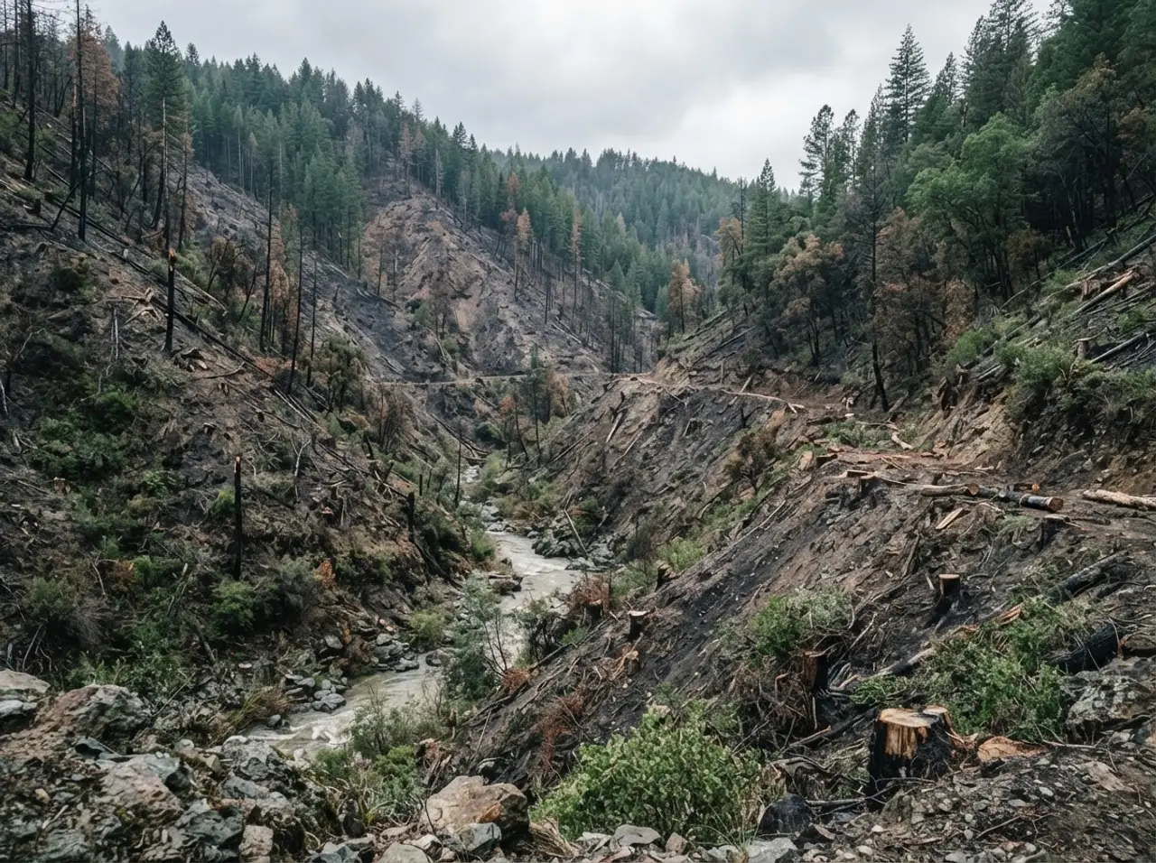
Three hundred hazard trees stood across 84 acres of Chickasaw National Recreation Area, on ravine slopes reaching 70 degrees. The terrain was a wildfire pathway running toward the town of Sulphur, Oklahoma. If fire crowned in those trees, it would carry into $1.1 billion in combined federal and municipal assets and put 5,000 residents in its path.
We treated the full 84 acres in 17 days. ATAK-enabled targeting mapped every stand and tagged each tree for removal, so crews on the ground knew what to cut and crews in the office knew what had been completed. Nobody puts a chipper on a 70-degree slope. We rigged material down the ravine, staged it at the base, and processed it where the terrain allowed.
The recovered timber was donated to the Chickasaw Nation Firewood Program, supporting more than 200 households. The fuel left the site as firewood, not as fire.
Where This Applies
Federal land where fuel load is the fire risk
National Recreation Areas
See the federal record for this market.Wildland Urban Interface
See the federal record for this market.Next Step
Reduce the fuel before the fire season starts
Download the capability statement for wildfire and fuel load management on federal land. The full capability statement, past performance summary, and federal registration data are available as a single document. For teaming opportunities, see how we work with partners.
Federal Registration
Ready to mobilize
| Field | Value |
|---|---|
| UEI | GZ3XMZPPKA59 |
| CAGE | 9NKZ6 |
| Primary NAICS | 561730 |
| Additional NAICS | 115310 and 113310 |
| PSC | F014 S208 F018 |
| SAM.gov Status | Active |
The Arborist is a Service-Disabled Veteran-Owned Small Business serving federally managed land across the United States.